What is Satlas?
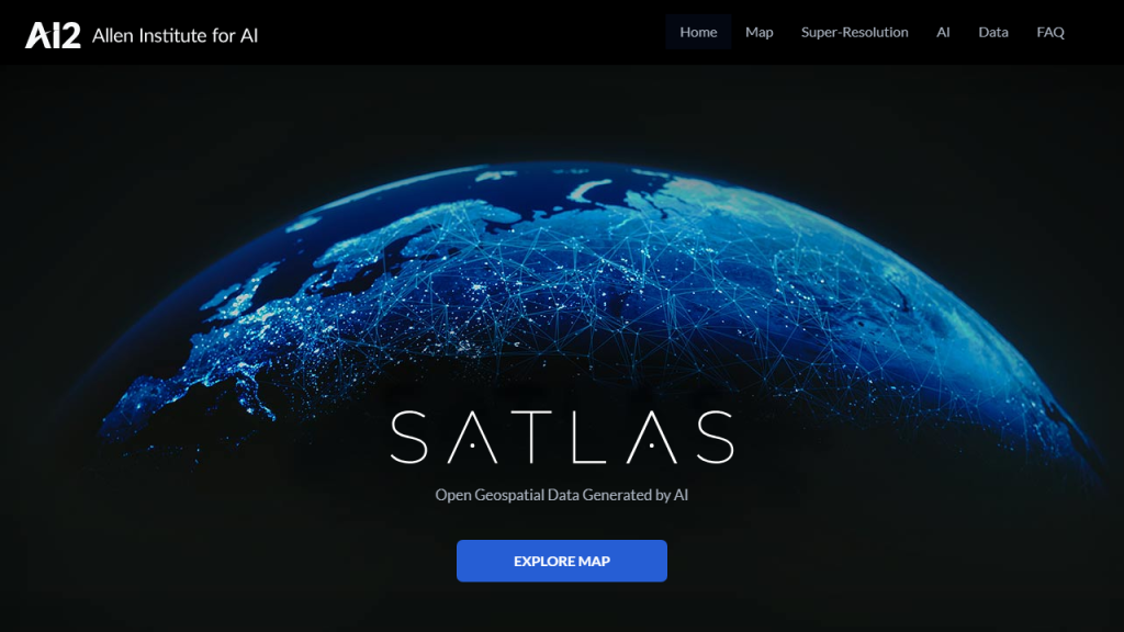
Satlas is an innovative satellite imagery analysis tool designed to empower users with precise geospatial data and insights. By utilizing advanced machine learning algorithms, Satlas processes and interprets satellite images, offering a wealth of information applicable across various industries, including agriculture, urban planning, environmental monitoring, and disaster response. The platform’s user-friendly interface allows both novices and experts to navigate through its features with ease, promoting accessibility to high-quality satellite data. Users can conduct land-use analysis, monitor vegetation health, assess infrastructure changes, and track environmental changes over time. The ability to customize queries and visualize data through intuitive maps and graphs makes Satlas an essential tool for decision-makers and researchers alike. With regular updates to its satellite imagery database, Satlas ensures that users always have access to the most current data available, making it a vital resource for anyone needing reliable geospatial information.
Features
- Real-time satellite imagery updates for accurate analysis
- Advanced machine learning algorithms for image processing
- Customizable dashboards for tailored data visualization
- Multi-layer mapping capabilities for comprehensive analysis
- Collaboration tools to share insights within teams
Advantages
- Enhanced decision-making through actionable geospatial insights
- Time-efficient data retrieval and analysis, saving hours of manual work
- Cost-effective solution compared to traditional surveying methods
- Scalable platform suitable for both small businesses and large enterprises
- Robust support and training resources for users of all skill levels
TL;DR
Satlas is a satellite imagery analysis tool that provides real-time geospatial data and insights, designed for various industries to enhance decision-making and streamline analysis.
FAQs
What types of industries can benefit from using Satlas?
Satlas is beneficial for a wide range of industries, including agriculture, urban planning, environmental science, forestry, and disaster management, among others.
How frequently is the satellite imagery updated?
Satlas provides real-time updates, ensuring that users have access to the most current satellite imagery available for accurate analysis.
Can I customize the data visualizations in Satlas?
Yes, Satlas offers customizable dashboards and mapping capabilities, allowing users to tailor visualizations to their specific needs and preferences.
Is training available for new users of Satlas?
Yes, Satlas provides comprehensive support and training resources, including tutorials and user guides, to help new users get started effectively.
What sets Satlas apart from other satellite imagery tools?
Satlas stands out due to its advanced machine learning capabilities, real-time updates, and user-friendly interface, making it accessible for both technical and non-technical users.
