What is Latitude?
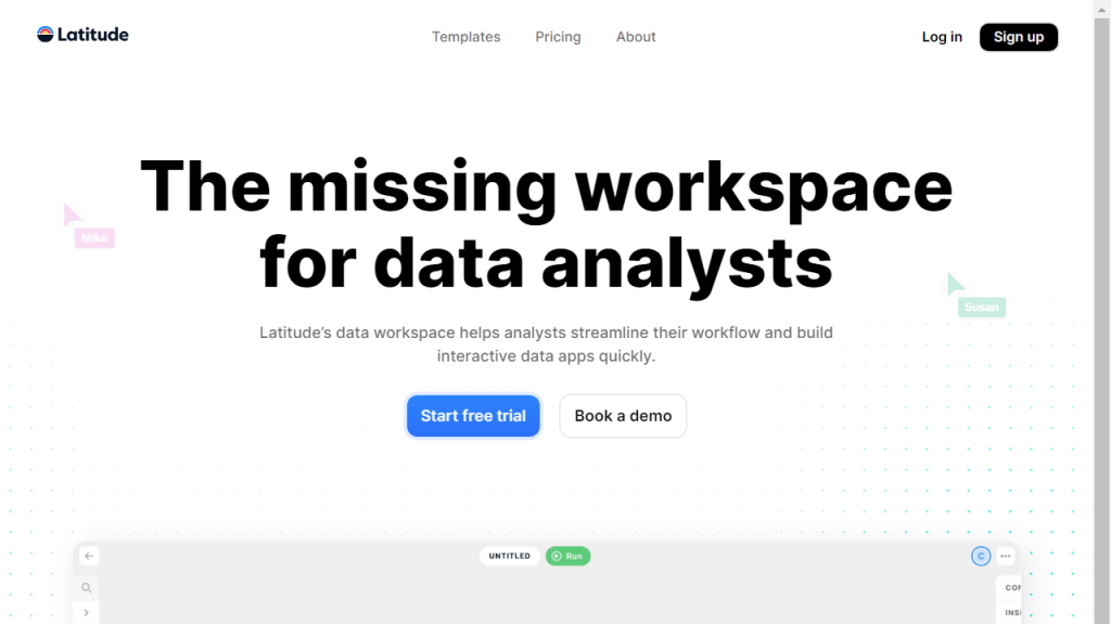
Latitude is an innovative tool designed to enhance the way individuals and businesses interact with geospatial data. By offering a user-friendly platform, Latitude enables users to visualize, analyze, and manipulate geographic information effortlessly. The tool integrates advanced mapping capabilities with data analytics, allowing users to gain insights into spatial relationships and geographic trends. Latitude caters to diverse industries including real estate, urban planning, environmental science, and logistics, making it a versatile solution for anyone needing to manage location-based data. With its powerful features, users can create detailed maps, conduct spatial analyses, and generate reports that help in making informed decisions. The tool’s intuitive interface is complemented by robust functionalities such as data layering, geocoding, and real-time data integration, which together facilitate a deeper understanding of geographic dynamics. In essence, Latitude transforms complex geospatial information into actionable intelligence, empowering users to optimize their projects and strategies.
Features
- Interactive Mapping: Create and customize maps with various layers, markers, and annotations for better visual representation.
- Data Analysis Tools: Conduct advanced spatial analyses using built-in algorithms to uncover patterns and trends in geographic data.
- Real-Time Data Integration: Access and incorporate real-time geospatial data from various sources to keep your analyses up to date.
- User-Friendly Interface: An intuitive design that makes it easy for users of all skill levels to navigate and utilize the tool effectively.
- Comprehensive Reporting: Generate detailed reports that summarize findings and insights derived from the geospatial analyses.
Advantages
- Enhanced Decision Making: Provides critical insights that help stakeholders make informed decisions based on geographic trends.
- Time Efficiency: Streamlines the process of data visualization and analysis, saving users time in project execution.
- Collaboration Capabilities: Facilitates teamwork by allowing multiple users to collaborate on projects and share insights seamlessly.
- Scalability: Suitable for both small-scale projects and large enterprises, adapting to various user needs and data volumes.
- Cost-Effective Solution: Offers powerful geospatial capabilities without the need for expensive software or extensive training.
TL;DR
Latitude is a versatile geospatial analysis tool that enables users to visualize, analyze, and manage geographic data efficiently for informed decision-making.
FAQs
What types of data can I analyze with Latitude?
Latitude supports various types of geospatial data, including vector and raster data, as well as real-time data feeds from multiple sources.
Is Latitude suitable for beginners?
Yes, Latitude features an intuitive interface designed for users of all skill levels, making it accessible for beginners.
Can I collaborate with team members using Latitude?
Absolutely! Latitude allows for collaboration by enabling multiple users to work on projects simultaneously and share insights easily.
What industries can benefit from using Latitude?
Latitude is beneficial across various industries, including real estate, urban planning, environmental science, logistics, and more.
Does Latitude offer customer support?
Yes, Latitude provides comprehensive customer support to assist users with any questions or issues they may encounter.
