What is MapDeduce?
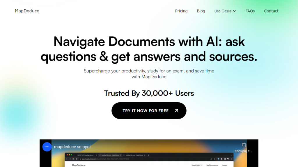
MapDeduce is an innovative mapping tool designed to streamline the process of data visualization and spatial analysis. It empowers users to create custom maps with ease, allowing for the effective representation of geographic data in a visually appealing manner. Whether you’re a business professional looking to analyze market trends, a researcher needing to present field data, or a community planner seeking to visualize demographic changes, MapDeduce offers a versatile platform that caters to a wide array of mapping needs. The tool integrates seamlessly with various data sources, enabling users to import and manipulate datasets effortlessly. With its user-friendly interface and powerful features, MapDeduce helps users uncover insights from their data, facilitating informed decision-making and strategic planning. The platform supports collaborative efforts by allowing teams to share and edit maps in real-time, fostering a productive environment for brainstorming and analysis. In addition, MapDeduce includes various layers and markers to enhance map detail, making it an invaluable resource for anyone needing to present complex information in an understandable format.
Features
- Custom Map Creation: Users can design personalized maps using various templates, layers, and styles to suit their specific needs.
- Real-Time Collaboration: Multiple users can work on the same map simultaneously, making it easy to gather input and ideas from team members.
- Data Import and Integration: Easily import data from CSV files, databases, or APIs, allowing for efficient mapping of relevant information.
- Interactive Elements: Add clickable markers, pop-ups, and tooltips to provide additional information directly on the map.
- Advanced Spatial Analysis: Utilize built-in analytical tools to identify patterns, trends, and outliers in geographic data.
- Export Options: Export maps in various formats, including PDF, PNG, and interactive web maps for easy sharing and presentation.
Advantages
- User-Friendly Interface: Intuitive design makes it accessible for both beginners and advanced users to create maps without extensive training.
- Enhanced Data Visualization: Transform complex datasets into clear, understandable visual formats that are easy to interpret.
- Cost-Effective: Offers a range of pricing plans, including a free tier, making it accessible for individuals and organizations of all sizes.
- Scalable Solution: Suitable for individuals, teams, and large organizations, with features that can grow alongside user needs.
- Community Support: Active user community and comprehensive documentation provide assistance and best practices for effective map creation.
TL;DR
MapDeduce is a powerful mapping tool that enables users to create custom maps, analyze spatial data, and collaborate in real-time for effective data visualization and decision-making.
FAQs
What types of data can I import into MapDeduce?
MapDeduce allows users to import data from CSV files, databases, and APIs, enabling the integration of various datasets for mapping.
Is MapDeduce suitable for beginners?
Yes, MapDeduce features a user-friendly interface that makes it accessible for beginners while still offering advanced tools for experienced users.
Can I collaborate with others on a map?
Absolutely! MapDeduce supports real-time collaboration, allowing multiple users to edit and contribute to the same map simultaneously.
What are the export options available with MapDeduce?
Users can export maps in various formats, including PDF, PNG, and interactive web formats, facilitating easy sharing and presentation.
Is there a free version of MapDeduce?
Yes, MapDeduce offers a free tier with limited features, allowing users to explore the tool before committing to a paid plan.
