What is QMapper?
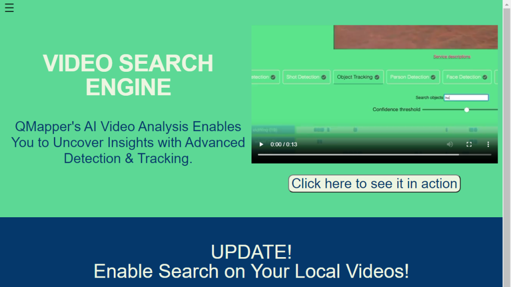
QMapper is an innovative mapping and data visualization tool designed to help users create, analyze, and share interactive maps with ease. It serves a variety of industries, including urban planning, environmental science, education, and business analytics, by enabling users to visualize complex data sets in a geographical context. With QMapper, users can import data from multiple sources, customize map layers, and employ various mapping techniques to derive insights from their data. The platform offers an intuitive user interface that caters to both novice users and experienced geographers, making it accessible for anyone looking to visualize spatial data effectively. Furthermore, QMapper’s collaborative features allow teams to work together in real-time, enhancing productivity and ensuring that all stakeholders have access to the most up-to-date information. Whether you are planning a community project, analyzing environmental impact, or conducting market research, QMapper equips you with the tools necessary to turn raw data into actionable insights, fostering informed decision-making.
Features
- Interactive Map Creation: Easily create customizable maps using various data layers and visualization styles.
- Data Integration: Import data from diverse formats, including CSV, Excel, and GIS files, to enrich your maps.
- Real-time Collaboration: Work with team members simultaneously on map projects, sharing insights and updates seamlessly.
- Advanced Analytics Tools: Utilize built-in analytics features to extract meaningful insights from your geospatial data.
- Mobile Compatibility: Access and edit your maps on-the-go with a mobile-friendly interface.
Advantages
- User-Friendly Interface: QMapper’s intuitive design makes mapping accessible to users of all skill levels.
- Cost-Effective Solution: Offers competitive pricing with a range of subscription plans to suit different needs.
- Robust Support: Benefit from comprehensive customer support, including tutorials, documentation, and a dedicated help center.
- Customizability: Tailor maps to specific requirements with various design options and thematic visualizations.
- Enhanced Data Visualization: Transform complex datasets into clear, engaging visual formats that promote better understanding.
TL;DR
QMapper is a powerful mapping and data visualization tool that enables users to create interactive maps and analyze spatial data effectively.
FAQs
What types of data can I import into QMapper?
You can import data from various formats, including CSV, Excel, GeoJSON, and shapefiles, to create comprehensive maps.
Is QMapper suitable for beginners?
Yes, QMapper is designed with a user-friendly interface that makes it easy for beginners to start creating maps without extensive training.
Can I collaborate with others on QMapper?
Absolutely! QMapper supports real-time collaboration, allowing multiple users to work on the same map project simultaneously.
What industries can benefit from using QMapper?
QMapper is versatile and can be used in various industries, including urban planning, environmental sciences, education, and market research.
Does QMapper offer customer support?
Yes, QMapper provides comprehensive customer support, including user guides, tutorials, and a dedicated help center for troubleshooting.


