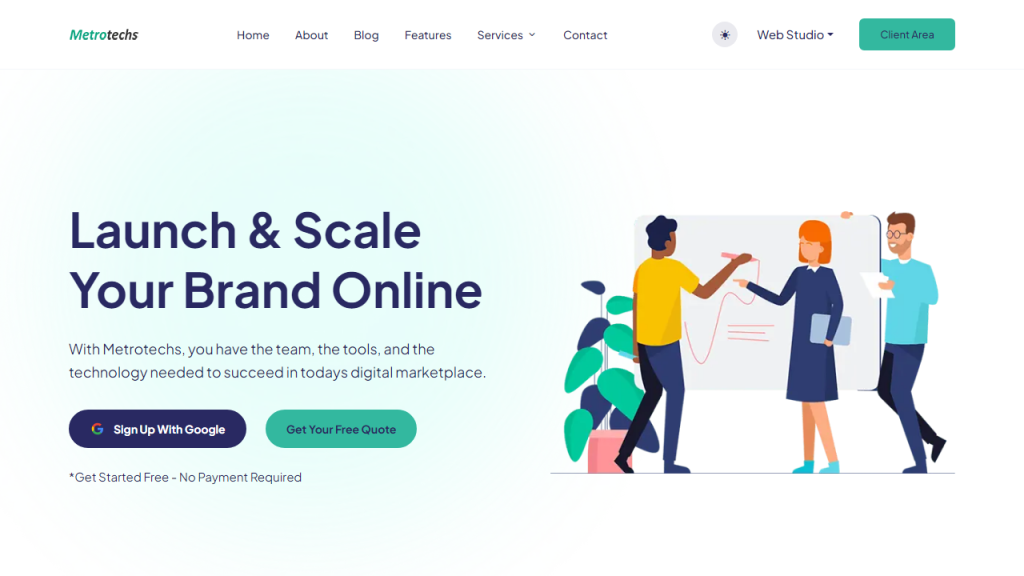
What is Metrotechs?
Metrotechs is an advanced software tool designed to streamline urban planning, infrastructure management, and community engagement through innovative technology solutions. It integrates Geographic Information Systems (GIS), data analytics, and machine learning to provide city planners and local governments with critical insights into urban dynamics. The platform enables users to visualize and analyze spatial data, which helps in making informed decisions regarding land use, transportation, public services, and environmental sustainability. With Metrotechs, cities can enhance their operational efficiency, improve resource allocation, and foster community collaboration by providing a platform for citizen feedback and participation in the planning process.
Features
- GIS Integration: Seamlessly integrates with GIS technology to visualize complex data in an intuitive map format.
- Data Analytics Dashboard: Offers real-time analytics, enabling users to track urban trends and performance metrics effectively.
- Community Engagement Tools: Facilitates public participation through surveys and feedback mechanisms, ensuring that citizen voices are heard in planning decisions.
- Predictive Modeling: Utilizes machine learning algorithms to forecast urban growth and the impact of different policies.
- Custom Reporting: Provides customizable reports that help stakeholders understand data insights in a format that suits their needs.
Advantages
- Enhanced Decision-Making: Empowers urban planners with data-driven insights to make more informed decisions.
- Time Efficiency: Streamlines data collection and analysis processes, significantly reducing the time spent on urban planning tasks.
- Increased Transparency: Promotes transparency in governance by providing accessible information to citizens and stakeholders.
- Improved Collaboration: Fosters collaboration among different departments and between the government and the community.
- Scalability: Adapts easily to different city sizes and types, making it suitable for both small towns and large metropolitan areas.
TL;DR
Metrotechs is an innovative urban planning tool that enhances decision-making through GIS integration, data analytics, and community engagement.
FAQs
What type of data can Metrotechs analyze?
Metrotechs can analyze various types of spatial and non-spatial data, including demographic information, land use patterns, transportation networks, and environmental factors.
Is Metrotechs suitable for small towns?
Yes, Metrotechs is designed to be scalable and can effectively serve the needs of both small towns and large cities.
How does Metrotechs enhance community engagement?
Metrotechs offers tools for public surveys, feedback collection, and interactive data visualization, allowing citizens to participate actively in the urban planning process.
Can Metrotechs integrate with existing city management systems?
Yes, Metrotechs is designed to be compatible with various city management systems, facilitating easy integration and data sharing.
What support options are available for Metrotechs users?
Metrotechs offers comprehensive support options, including user training, technical assistance, and a knowledge base for troubleshooting and best practices.
